Our Work Speaks for Itself
Browse examples across all 16 survey types. Every project is drafted with precision in ProgeCAD & AutoCAD.
Survey Examples
 Other
Drone Aerial Mapping Survey
UAS/drone photogrammetric survey producing orthomosaic, point cloud, DTM, and 3D mesh for environmental impact assessment.
 Hydrographic Survey FEATURED
Marina Hydrographic Survey
Bathymetric survey of marina basin for dredging design. Multi-beam sonar with 1-foot depth contours, sediment classification, and volume calculations.
 Route Survey
Rural Highway Route Survey
Route survey for county road realignment including centerline, right-of-way, cross-sections every 50 feet, and drainage structure locations.
 Site Plan Survey
Solar Farm Site Plan Survey
Site plan survey for utility-scale solar installation including topography, access roads, setback analysis, and environmental buffer zones.
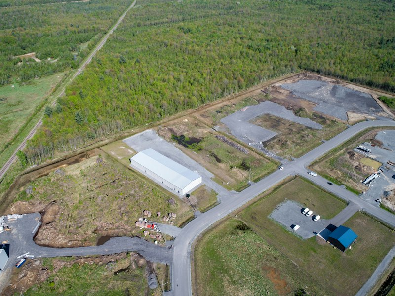 Site Plan Survey FEATURED
Mixed-Use Development Site Plan
Site plan survey for mixed-use development showing existing conditions, proposed building footprints, parking calculations, and stormwater management.
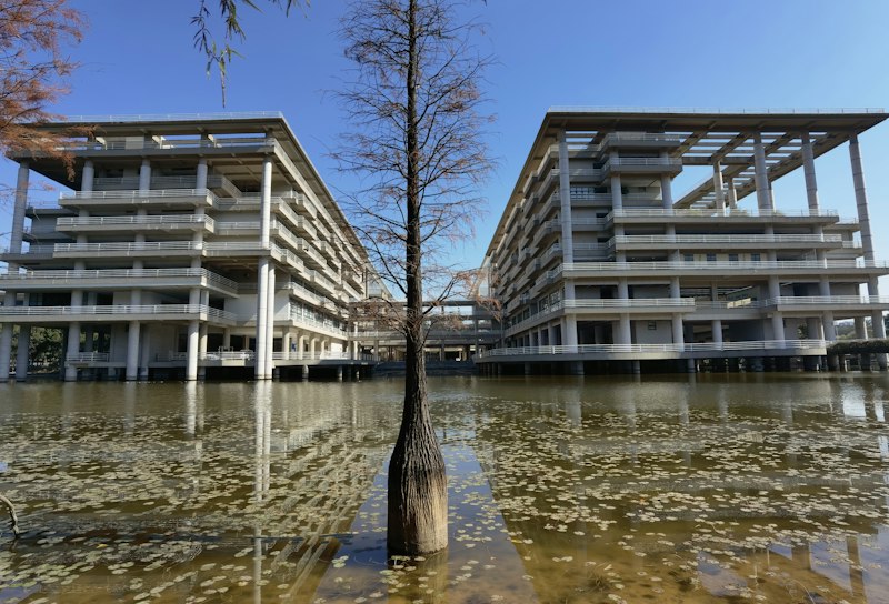 Floodplain Survey
Floodplain Delineation Study
Detailed floodplain mapping and delineation for proposed development. Cross-sections, hydraulic analysis support, and LOMA/LOMR preparation assistance.
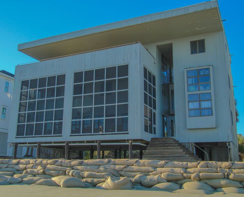 Elevation Certificate
Post-Hurricane Elevation Certification
Post-storm elevation certificates for insurance claims. Documented lowest floor, machinery, and attached garage elevations per FEMA standards.
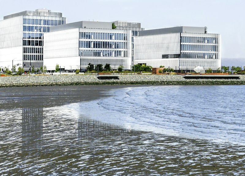 Elevation Certificate FEATURED
Coastal FEMA Elevation Certificate
FEMA elevation certificates for coastal condominium complex in Zone AE flood zone. Includes BFE comparison and lowest adjacent grade measurements.
 Mortgage Survey
Mortgage Inspection Survey - Condo Complex
Batch of 25 mortgage inspection surveys for condominium refinancing. Quick turnaround with improvement location and boundary verification.
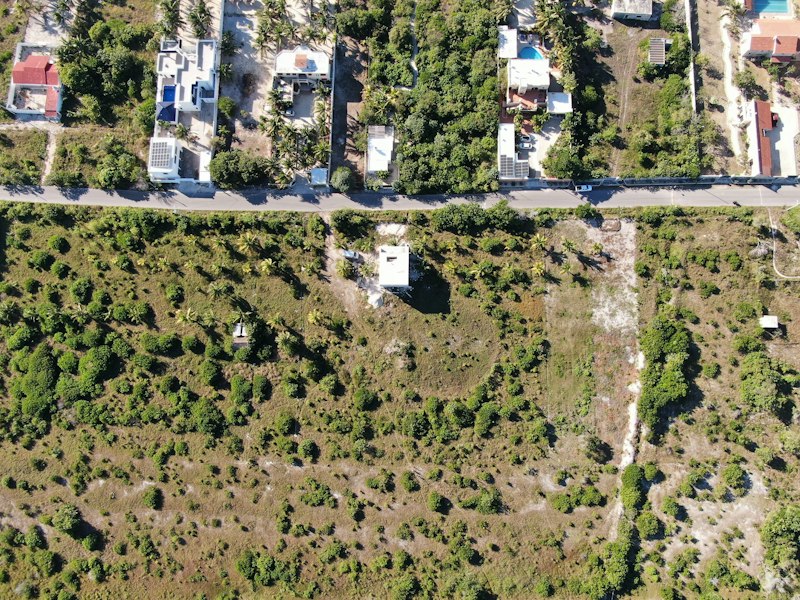 Lot Survey
 for New Construction
Lot survey for single-family home construction including building setback lines, utility easements, and flood zone determination for permit application.
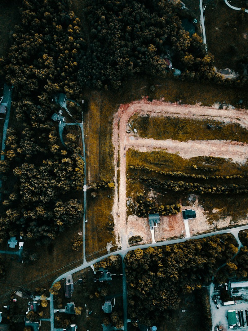 Property Line Survey FEATURED
Estate Property Line & Encroachment Survey
Property line survey identifying multiple encroachments including neighbor's shed, fence, and drainage structures crossing boundary lines.
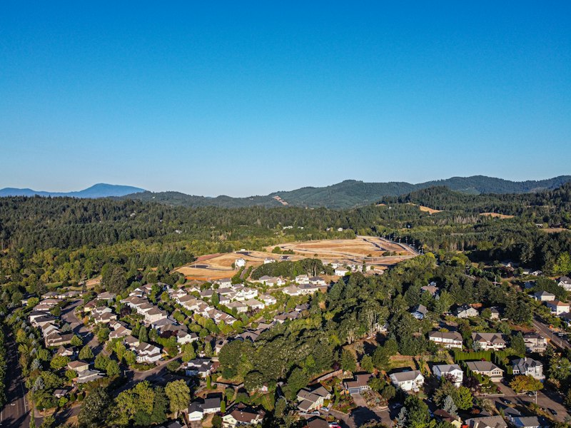 Property Line Survey
Residential Property Line Determination
Property line determination for residential fence installation. Located all corners, set iron pins, and prepared a survey plat showing setback lines.
 Utility & Easement Mapping
Gas Pipeline Easement Survey
Easement survey and mapping for natural gas pipeline corridor including centerline staking, temporary workspace boundaries, and landowner coordination.
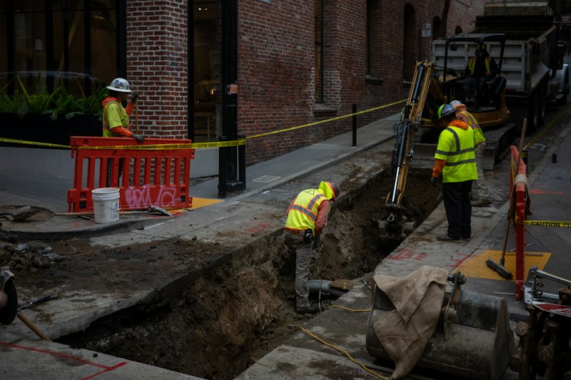 Utility & Easement Mapping FEATURED
Downtown Utility Corridor Mapping
Underground utility mapping using GPR and electromagnetic locating for downtown infrastructure renewal. All utilities depicted per ASCE standards.
 As-Built Survey
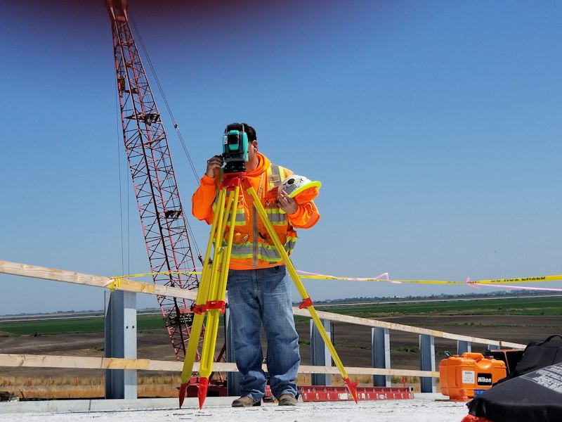
Retail Plaza As-Built Documentation
Comprehensive as-built survey for new retail plaza including building footprints, parking layout, stormwater infrastructure, and ADA compliance.
 As-Built Survey
Hospital Campus As-Built Survey
Post-construction as-built survey documenting all improvements, utility connections, grade elevations, and compliance with approved site plan.
Construction Staking Plan FEATUREDHighway Widening Construction Staking
Highway widening project with centerline, grade stakes, and utility relocation staking for FDOT. Blue-top and offset stakes for curb and gutter.
 Subdivision Plat
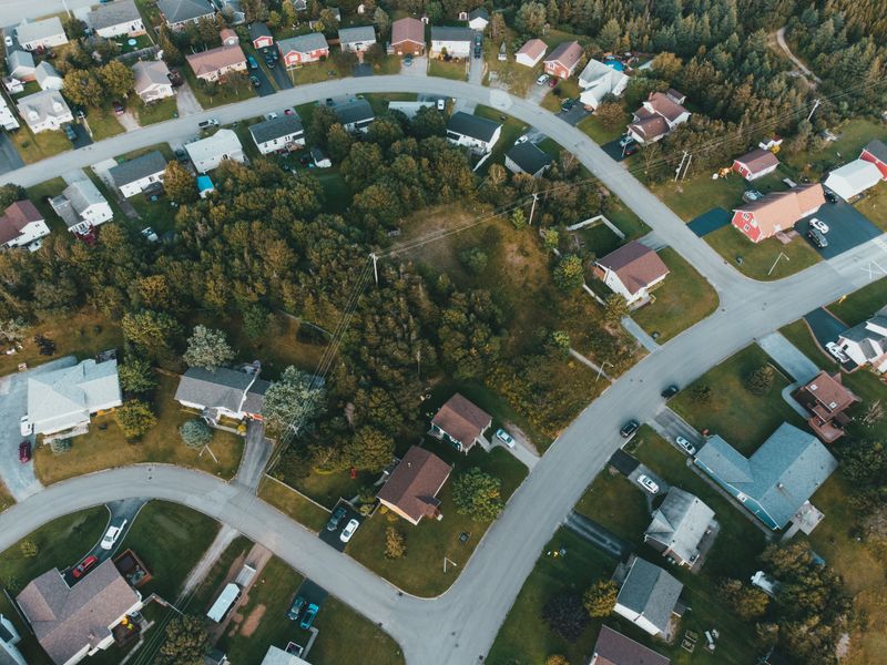
Commercial Subdivision Plat
Commercial subdivision creating 8 retail pad sites with shared access easements, detention pond, and utility infrastructure.
 Subdivision Plat FEATURED
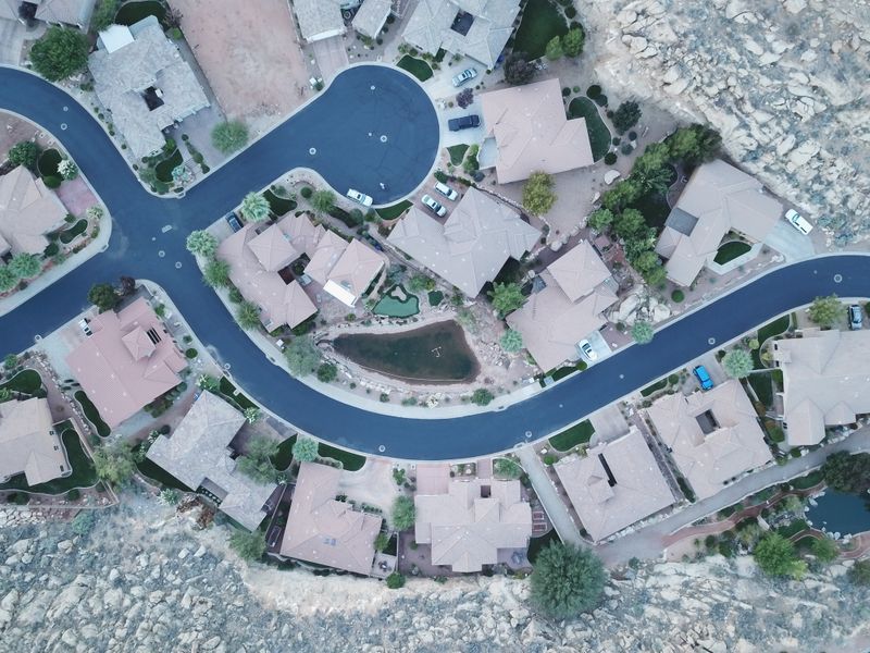
120-Lot Residential Subdivision
Final plat for 120-lot residential subdivision including infrastructure layout, utility easements, dedication language, and HOA common areas.
 Boundary Survey
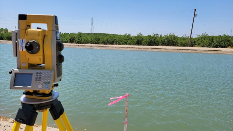
Lakefront Property Boundary Survey
Boundary survey for lakefront residential property including riparian rights analysis, setback determination, and iron pin placement.
 Boundary Survey FEATURED
Historic Ranch Boundary Retracement
Complex boundary retracement of historic Spanish land grant with extensive deed research, monument recovery, and neighbor coordination.
 Topographic Survey
Municipal Park Topo Survey
Topographic mapping with 2-foot contours for municipal park redesign. Includes tree survey, utility locates, and existing improvements.
 Topographic Survey FEATURED
Mountain Resort Topographic Survey
Detailed topographic survey with 1-foot contours for ski resort expansion, including existing structures, vegetation, and drainage patterns.
 ALTA/NSPS Survey
Industrial ALTA Survey - Distribution Center
ALTA/NSPS land title survey for Amazon distribution center with all Table A optional items, utility locates, and zoning analysis.
 ALTA/NSPS Survey FEATURED
Commercial ALTA Survey - Downtown Houston
Comprehensive ALTA/NSPS survey for mixed-use commercial development including Table A items 1-4, 6, 8, 11, 13, 16, 17. Full title commitment review and exception mapping.
Want to See Your Project Here?
Let us help you deliver exceptional survey drawings for your clients.